Share PJIVORY's profile
PJIVORY
PJIVORY's stats
- Review count1
- Helpfulness votes25
- First reviewSeptember 9, 2010
- Last reviewSeptember 9, 2010
- Featured reviews0
- Average rating2
Reviews comments
- Review comment count0
- Helpfulness votes0
- First review commentNone
- Last review commentNone
- Featured review comments0
Questions
- Question count0
- Helpfulness votes0
- First questionNone
- Last questionNone
- Featured questions0
Answers
- Answer count0
- Helpfulness votes0
- First answerNone
- Last answerNone
- Featured answers0
- Best answers0
PJIVORY's Reviews
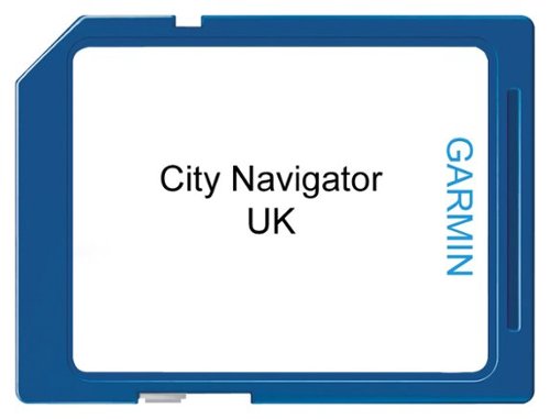
MicroSD memory card, City Navigator NT, UK & Ireland. Detailed map coverage for Great Britain and Republic of Ireland containing full coverage of Great Britian, Isle of Man and the Channel Islands. Full coverage also included for major cites in Northern Ireland including motorways, national and regional thoroughfares and local roads. Contains navigational features such as turn restrictions and speed categories. Points of interest such as: food and drink, lodging, border crossings, petrol stations, hospitals and more. Now with expanded points of interest and full postal code support in the UK.
Customer Rating

2
Not current, therefore not that helpful
on September 9, 2010
Posted by: PJIVORY
from La Canada, CA
I bought this for a motoring trip through Ireland (Aug 2010). The information was not current with some new roads (but neither was a print road atlas from a well-known company) and as a result of believing the Garmin early in our trip, I ended up somewhat lost and burnt up about an hour just getting to main road. Basically, I couldn't rely on the info provided. I did find it helpful in keeping me on the primary road as it illustrated the primary road in one color and other roads in other color, so when I got to a ambiguous fork in a road, I went with the Garmin info - in this application, it never sent me the wrong way. It also helped in roundabouts (announcing, "Take 2nd exit in roundabout).
What's great about it: Indicating primary route to take
What's not so great: not current enough
No, I would not recommend this to a friend.
Share this review:
+25points
25of 25voted this as helpful.
PJIVORY's Review Comments
PJIVORY has not submitted comments on any reviews.
PJIVORY's Questions
PJIVORY has not submitted any questions.
PJIVORY's Answers
PJIVORY has not submitted any answers.